The Hidden Challenges of Mapping Remote and Extreme Weather Airports
Have you ever wondered how airports in the most remote corners of the world stay operational during extreme weather? Mapping remote airports and extreme weather airports means no walking in the park.
It's a complex dance of technology, skill, and sheer determination. Did you know that in 2023, weather-related delays accounted for nearly 30% of all air traffic delays in Europe?
Let's find out the hidden challenges of keeping these vital lifelines to civilization running smoothly, no matter what Mother Nature throws their way.
The Unique Challenges of Mapping Remote Airports
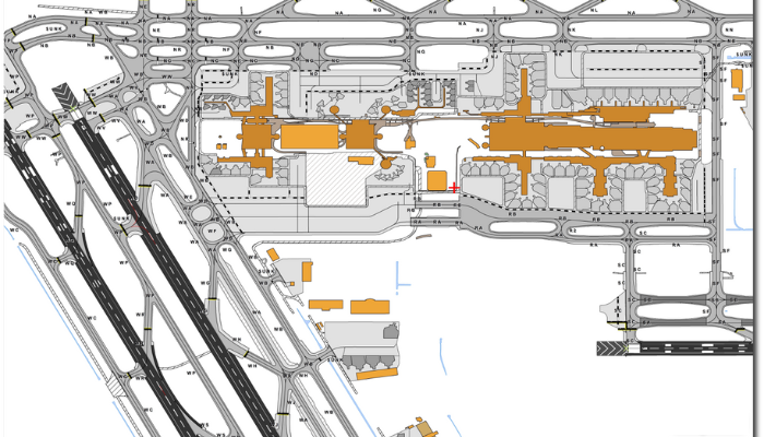
Mapping remote airports is like solving a puzzle with pieces that keep changing shape. These airports often sit in areas with limited infrastructure, making traditional surveying methods a nightmare. So why is mapping these airports so crucial?
- First off, accurate maps are the lifeblood of aviation safety. Pilots need to know exactly what they're flying into, especially when landing in unfamiliar territory. Moreover, remote airports serve as lifelines for isolated communities, bringing in supplies, medical care, and connecting people to the wider world.
- But here's the kicker: remote locations often lack the resources and technology we take for granted in urban areas. This means mappers have to get creative. They might use satellite imagery, drones, or even good old-fashioned boots on the ground to gather data.
- Another hurdle? The landscape around remote airports can change rapidly. Think about airports near active volcanoes or in areas prone to landslides. A map that's accurate today might be dangerously outdated tomorrow.
Mapping Extreme Weather Airports
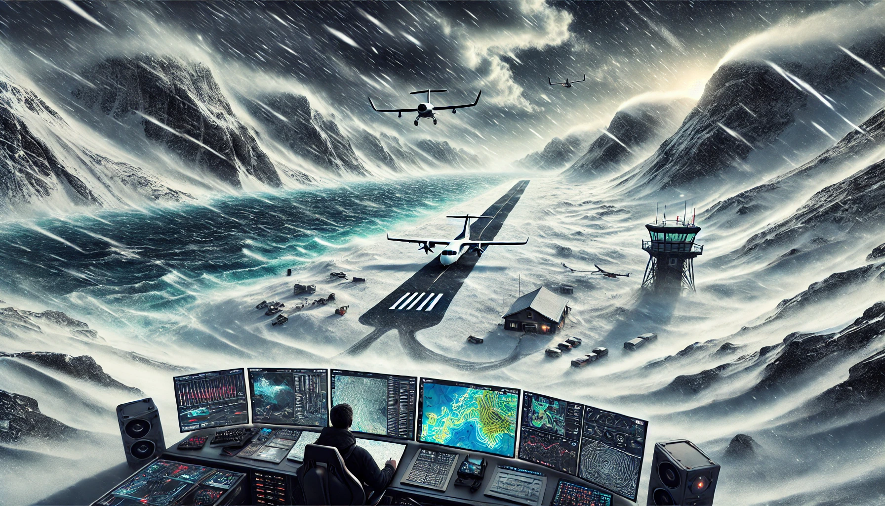
Now, let's talk about mapping extreme weather airports. This is where things get really interesting. These airports face a whole different set of challenges that can make your head spin.
Imagine trying to map an airport where the weather can change from sunny to stormy in the blink of an eye. Or an airport where temperatures can swing wildly, causing runways to expand and contract. These are the realities of extreme weather airports.
One of the biggest challenges? Capturing data during extreme weather events. Traditional surveying methods often go out the window when you're dealing with hurricane-force winds or blizzard conditions. Yet, it's precisely during these events that accurate, up-to-date mapping becomes most critical.
Moreover, extreme weather can cause rapid changes to an airport's infrastructure. A severe storm might alter drainage patterns, shift soil, or even change the shape of nearby landforms. This means mappers need to be constantly on their toes, ready to update their data at a moment's notice.
The Role of Technology in Mapping Remote Airports
Technology is the unsung hero in the world of mapping remote airports. Without it, we'd be stuck in the dark ages of aviation. So, what tech tools are making waves in this field?
- First up, satellite imagery. This has been a game-changer for mapping remote areas. High-resolution satellite images can provide detailed views of airports and their surroundings, even in the most inaccessible locations. Plus, frequent satellite passes mean we can track changes over time.
- Next, let's talk about LiDAR (Light Detection and Ranging). This nifty technology uses laser pulses to create incredibly accurate 3D maps. It's especially useful for mapping terrain and identifying potential obstacles around airports.
- Drones are also making a big splash in airport mapping. They can capture high-resolution images and data from angles that were previously impossible or too dangerous to access. Plus, they're much cheaper and faster than traditional aerial surveys.
But it's not just about collecting data. Advanced software and AI algorithms are helping to process and analyze this data, turning raw information into actionable insights for airport planners and operators.
The Future of Remote and Extreme Weather Airport Mapping
So, what's on the horizon for mapping remote airports and extreme weather airports? Buckle up, because the future looks pretty exciting!
One trend to watch? The integration of big data and machine learning. These technologies could revolutionize how we predict and respond to extreme weather events at airports. Imagine an AI system that can automatically update airport maps based on real-time weather data and satellite imagery.
Another area of innovation is in materials science. Researchers are developing new materials for runways and other airport infrastructure that can better withstand extreme temperatures and weather conditions. This could make mapping and maintaining remote airports much easier.
Virtual and augmented reality are also set to make a big splash. These technologies could allow airport planners and operators to visualize and interact with 3D maps in real-time, improving decision-making and safety.
Lastly, we're likely to see more collaboration between airports, meteorologists, and tech companies. By pooling resources and expertise, we can develop more comprehensive and accurate mapping solutions for even the most challenging airport locations.
Key Considerations for Mapping Remote and Extreme Weather Airports
When it comes to mapping remote airports and extreme weather airports, there are several key factors to keep in mind. Let's break them down:
|
Factor |
Description |
Importance |
Challenges |
Solutions |
|
Accessibility |
Ease of reaching the airport for surveys |
High |
Limited infrastructure, harsh terrain |
Use of satellite imagery, drones |
|
Weather Variability |
Frequency and severity of extreme weather events |
Critical |
Rapid changes, unpredictable conditions |
Real-time monitoring systems, predictive modeling |
|
Environmental Impact |
Effects of airport on local ecosystem |
Increasing |
Balancing development with conservation |
Eco-friendly design, ongoing environmental assessments |
|
Technology Availability |
Access to advanced mapping tools |
High |
Limited resources in remote areas |
Partnerships with tech companies, government support |
|
Local Knowledge |
Understanding of local conditions and culture |
Essential |
Language barriers, lack of documented information |
Collaboration with local communities and experts |
These factors form the backbone of any successful remote or extreme weather airport mapping project. By carefully considering each one, we can create more accurate, reliable, and useful maps for these challenging locations.
Final Thoughts
Mapping remote airports and extreme weather airports is a complex challenge that requires a blend of technology, human expertise, and innovative thinking. As we've seen, the obstacles are many, but so are the solutions.
As climate change continues to reshape our world, the importance of accurate and up-to-date airport mapping will only grow. It's not just about convenience - it's about safety, accessibility, and maintaining vital links to remote communities.
Ready to explore how advanced mapping solutions can benefit your airport operations? Learn more and start your journey towards more resilient and efficient airport management.
FAQs
1. How often should remote airport maps be updated?
The frequency of updates depends on various factors, including local climate, geological activity, and infrastructure changes. However, most experts recommend reviewing and updating maps at least annually, with more frequent updates in areas prone to rapid changes.
2. What role does satellite imagery play in mapping extreme weather airports?
Satellite imagery is crucial for mapping extreme weather airports. It provides regular, high-resolution images that can show changes in terrain, infrastructure, and weather patterns. This data is especially valuable for airports in remote or hard-to-access locations.
3. What are the main challenges in mapping airports in polar regions?
Mapping polar airports presents unique challenges including extreme cold, long periods of darkness, rapidly changing weather, and shifting ice conditions.
4. How do mappers account for seasonal changes at extreme weather airports?
Mappers use a combination of historical data, predictive modeling, and real-time monitoring to account for seasonal changes.
5. What new technologies are being developed for remote airport mapping?
Emerging technologies for remote airport mapping include advanced drone systems capable of operating in extreme conditions, AI-powered predictive modeling tools, and augmented reality systems for visualizing and interacting with 3D airport maps.