The Role of Electronic Terrain in Enhancing Flight Simulator Accuracy
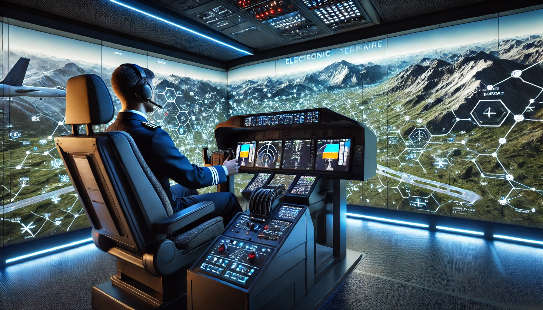
Imagine sitting in the cockpit of a commercial airliner, flying over mountains, cities, and rivers—all without ever leaving the ground. This is the power of flight simulators, which use advanced electronic terrain technology to create highly detailed landscapes.
These simulators are not just for entertainment; they play a crucial role in training pilots, helping them develop skills in navigation, risk assessment, and decision-making.
A recent study found that using digital terrain in flight simulators can improve navigation skills. This level of realism is essential in modern pilot training, making simulations more effective and practical.
What is Electronic Terrain in Flight Simulators?
Electronic terrain is a digital representation of the Earth's surface, recreated inside a flight simulator. It includes mountains, valleys, rivers, roads, and cities, allowing pilots to experience realistic flight conditions without stepping into a real aircraft.
How Digital Terrain Works
The process of integrating digital terrain into simulators involves several steps:
- Data Collection: Geographic data is gathered from aerial surveys and satellite images.
- Processing and Integration: The collected data is converted into digital models and integrated into flight simulation software.
- Realistic Representation: These digital models create a detailed, accurate representation of real-world landscapes.
This level of detail allows pilots to train using real-life geography, improving their ability to navigate and handle different flying conditions.
Why Realism Matters in Flight Training
Traditional flight training focused on learning aircraft controls and flight procedures. However, with digital terrain, pilot training has become far more interactive and realistic. This realism improves a pilot's ability to handle challenges in real flights.
Key Benefits of Digital Terrain:
- Better Spatial Awareness: Pilots develop a strong understanding of landscapes, which helps with navigation.
- Improved Risk Assessment: Realistic environments allow pilots to practice handling unexpected situations.
- Enhanced Decision-Making: Simulators provide a safe space to practice complex scenarios without real-world consequences.
How Accurate Landscapes Improve Training
In aviation, every small detail matters. A well-designed flight simulator should replicate real-world conditions as closely as possible. This means pilots must see not just generic terrain but detailed landscapes that accurately reflect the areas they will fly over.
For example:
- Mountainous Regions: Simulators must recreate the turbulence and wind patterns near mountains.
- Water Bodies and Rivers: Pilots use them as visual navigation cues under Visual Flight Rules (VFR).
- Urban Areas: Learning to navigate busy airspace and identify landmarks is essential for safe flight operations.
The more precise the digital terrain, the better pilots can prepare for real-world flying conditions. This ensures they are ready for various challenges, from bad weather to emergency landings.
How Digital Terrain Works with Other Simulator Technologies
Digital terrain is just one part of a larger training system. It works alongside other simulation technologies to create a comprehensive learning experience.
|
Technology |
Function |
Impact on Training |
Future Developments |
|
Weather Simulation |
Creates realistic weather conditions |
Helps pilots train for different weather scenarios |
AI-driven real-time weather updates |
|
Air Traffic Control |
Simulates live ATC communication |
Improves coordination and communication skills |
AI-based voice recognition for ATC |
|
Real-Time Data |
Updates terrain and flight conditions |
Provides up-to-date training environments |
Satellite-based real-time terrain updates |
|
Augmented Reality |
Overlays digital data on physical environment |
Enhances pilot situational awareness |
Full-scale AR-enabled cockpit training |
|
AI Decision Training |
Analyzes pilot responses to various scenarios |
Improves decision-making skills |
Predictive AI models for pilot assessment |
By combining digital terrain with these advanced tools, flight simulators create a more immersive and effective training experience.
Bridging the Gap Between Classroom and Cockpit
Flight simulators serve as a bridge between theoretical learning and real-world flying. Pilots learn about flight dynamics, navigation, and emergency procedures in classrooms. Then, they apply this knowledge in a simulator before moving on to actual flights.
With high-quality digital terrain, pilots can practice:
- Take-offs and landings in different airport environments.
- Flying in challenging weather conditions without real-world risks.
- Handling in-flight emergencies in a safe setting.
This hands-on training builds both confidence and competence. By the time pilots operate real aircraft, they are already familiar with the visual and physical aspects of flying.
The Future of Flight Simulation and Digital Terrain
As technology evolves, flight simulators will become even more sophisticated. Some expected advancements in digital terrain technology include:
- Higher Resolution Terrain: More detailed geographic data for even greater realism.
- Real-Time Terrain Updates: Integration with satellite systems to reflect current conditions.
These innovations will help create even more accurate and practical training environments, ensuring that pilots are well-prepared for their careers.
Enhancing Safety Through Scenario-Based Training
Scenario-based training is a critical part of pilot education. Flight simulators create various real-world situations, allowing pilots to practice responding to emergencies, equipment failures, and unexpected weather changes.
By using electronic terrain in these scenarios, pilots can:
- Experience realistic flight conditions without risk.
- Develop problem-solving skills in high-pressure situations.
- Practice handling different terrains in a controlled environment.
This type of training significantly improves flight safety, ensuring pilots are well-equipped to handle real-life challenges.
Final Thoughts
Electronic terrain is a crucial element in flight simulators, providing the accuracy and realism needed for effective pilot training. It enhances navigation skills, improves decision-making, and prepares pilots for real-world conditions.
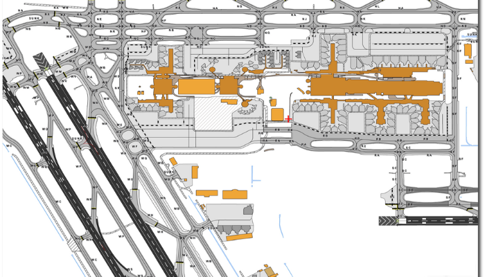
Solutions like SATPALDA’s AMDB play a crucial role in aviation by providing highly accurate maps of aerodrome features, terrain elevations, and obstacles. These detailed datasets support airport planning, navigation, and safety operations, ensuring pilots train with the most realistic environments possible.
As digital terrain technology continues to evolve, the gap between simulation and real-world flying will shrink even further, leading to safer, more skilled pilots. To explore advanced aviation mapping solutions, visit amdb.biz.
FAQs
1. What is digital terrain?
Digital terrain is a digital representation of the Earth's surface in flight simulators, making training more realistic.
2. How does electronic terrain improve pilot training?
It provides accurate environments for pilots to practice navigation, risk assessment, and emergency responses.
3. Can electronic terrain simulate any location?
Yes, advanced digital terrain technology can recreate almost any location in the world.
4. What are the future developments in electronic terrain?
Higher-resolution landscapes and real-time updates will make simulations even more realistic.
5. What skills do pilots improve using flight simulators?
Pilots develop skills in navigation, communication, decision-making, and emergency handling, making them more prepared for real-world flying.