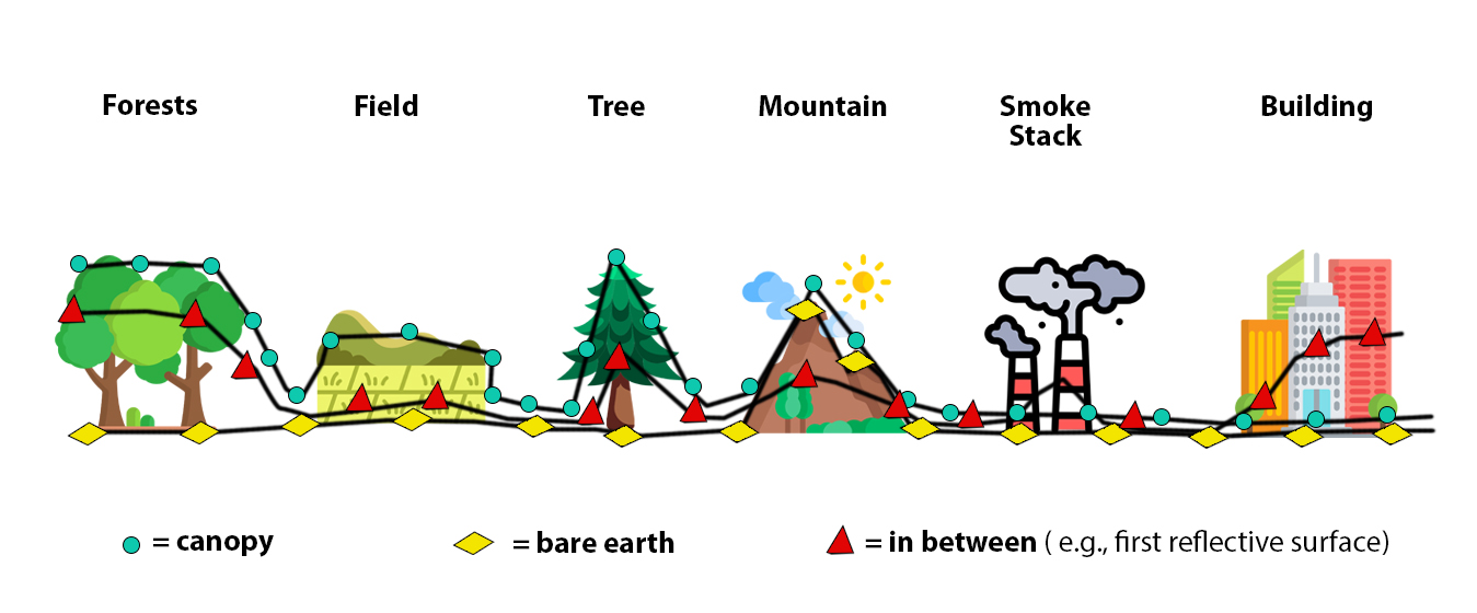


Electronic Terrain & Obstacle Data (eTOD) is the digital representation of terrain and obstacles provided as datasets satisfying user requirements for a series of airborne and ground application. This include bare earth elevation as a Digital Terrain Model (DTM) and terrain with feature (buildings, vegetation, etc.) height information as a Digital Surface Model (DSM).

Sustainable, reliable & affordable AMDB systems, Find Your Solution Now!
The Results
We follows
